High-Tech Mapping of Barnstable Harbor Sea Floor Completed
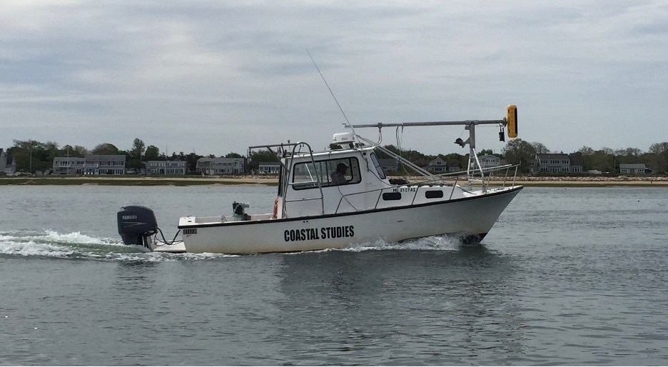
Friends of Barnstable Harbor is excited to publicize the final report for its Benthic Habitat Mapping Project. The mapping of Barnstable Harbor combines acoustic (sonar) and biological data to create a “snapshot in time” of the harbor’s seafloor and the organisms that live there. The project began in the spring of 2018 and was performed by Mark Borrelli, Coastal Geologist from the Center of Coastal Studies.
Coastal ecosystems are built from the bottom up, this Benthic Habitat Map is a foundation for future scientific study as well as for harbor management decisions.
Jonathan Brink, President, Friends of Barnstable Harbor
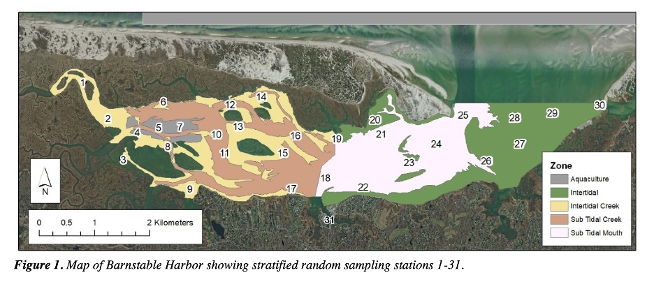
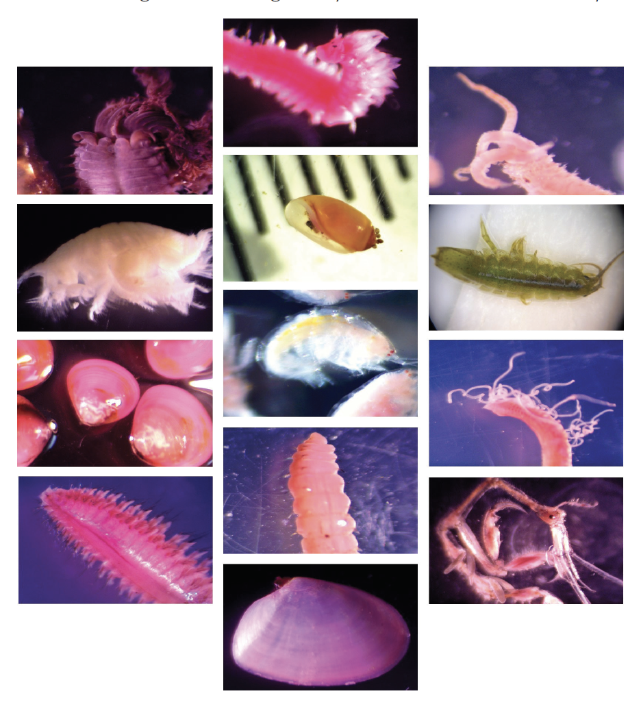
The Benthic Habitat Map is a science-based study that utilizes CMECS (Coastal Marine Ecological Classification Standard) a national classification standard for defining components of a coastal ecosystem. This study provides a baseline data set that “future change may be measured against”. The Benthic Habitat Map includes high-resolution sonar imagery of the seafloor, identification & count of seafloor invertebrates(benthos), and sediment grain analysis. Samples of sediment and invertebrates were collected at 31 unique stations across Barnstable Harbor and its outer flats.
The study detected two invasive species, the common periwinkle and a species of the skeleton shrimp, at 9-12% of the collection stations. Also, compared to studies from the 1960s and 1970s, there was an increase in “southern species adapted to warmer waters”. Fourteen southern species were discovered in this 2018 study as compared to two southern species in 1962 and 1970 respectively, and five southern species in 1977 studies.
Coastal ecosystems like Barnstable Harbor are wonderfully complex and productive. Using the Center for Coastal Studies advanced monitoring technologies, enables all of us to understand how to be the best stewards of these special places. This project is an excellent example of conducting “science that matters”.
Rich Delaney, Executive Director, Center for Coastal Studies
Press Release: Benthic Habitat Mapping Complete
Acoustic data revealed that although there is debris scattered throughout the harbor, it is not believed to be a hazard to navigation at this time. Also, salt marsh erosion was detected along the “southern shore of Sandy Neck and other places”. The main inlet channel of Barnstable Harbor is very dynamic with rapid drop off. “West to east sediment transport causes Sandy Neck to grow eastward but is prevented from shoaling the main channel” by strong diurnal tides. This consistent flushing of the harbor has positive implications for harbor management as well as ecosystem benefits.
Among the recommendations from this study are:
- Establish a monitoring program to revisit a subset of the monitoring stations every 5-10 years.
- Conduct an inventory of the commercially and recreationally important fishes.
- Undertake a study to quantify salt marsh change throughout the harbor.
Friends of Barnstable Harbor conducted this study with the generosity of private donors, the Town of Barnstable, IFAW (International Fund for Animal Welfare), and the Center for Coastal Studies.
World class mapping of the sea floor helps all Barnstable Harbor stakeholders set a better course for the future. IFAW is proud to support this vital, ongoing effort.
Patrick Ramage, Senior Director, Outreach and Program Collaboration, IFAW
In spring of 2024, Friends of Barnstable Harbor is planning to embark on a Finfish-Shellfish Study. The study will be conducted by Center for Coastal Studies Marine Fisheries Director Owen Nichols and will focus on commercially and recreationally important species. Sampling methods will include trawls, beach seining, dredging, ventless lobster traps, and gillnets.
Friends of Barnstable Harbor is planning two events this fall. The first, a Sunset Cruise aboard the Hyannis Whale Watch, is scheduled for September 8th as a fundraising kick-off for the Finfish-Shellfish Study. Later this fall, Owen Nichols will present the Benthic Habitat Map final report and provide details on the upcoming Finfish-Shellfish Study.
For the complete Benthic Habitat Map report visit https://www.friendsofbarnstableharbor.org/mapping-barnstable-harbor-from-the-bottom-up/